Hotel Route Tsukuba

Hotel Route Tsukuba

Hotel Route Tsukuba (Tsukuba,Япония)

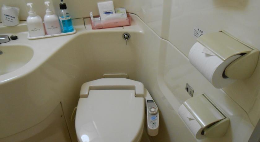
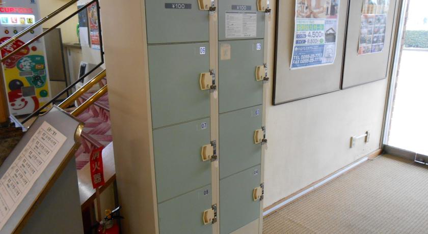
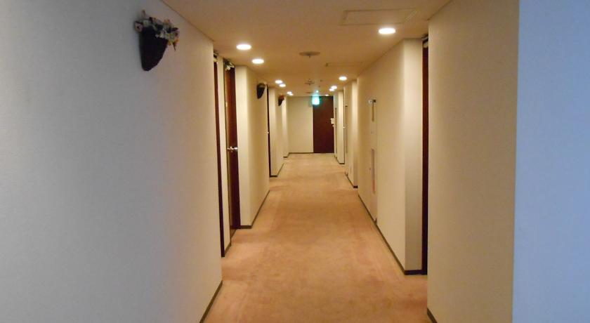
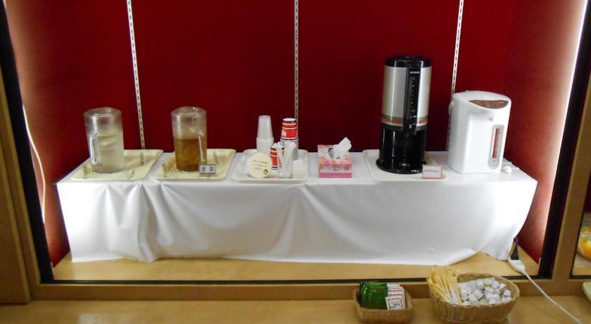
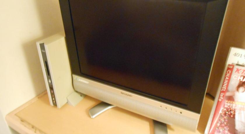
Категория отеля: 2-звездочный отель
Адрес: 305-0025 Ibaraki, Tsukuba, Hanamuro 1145-3 , Япония
Описание: Only a 3-minute drive from the Tsukuba Express Train Station, Hotel Route Tsukuba features accommodations with a flat-screen TV and free wired internet access. Free bicycle rentals and free parking is available.Each room features air-conditioning and carpeted floors. An electric kettle and a refrigerator are included. The en suite bathroom provides free toiletries and a hairdryer.A coin-operated laundry machine is available for guests to use. Computers with internet access are provided by the front desk. Guests can purchase drinks at the on-site vending machines or have pictures taken at the photo studio.A complimentary Western breakfast is served in the public area.Tsukuba Route Hotel is a 15-minute drive from the JR Tsuchiura Train Station, and 20 km from Mount Tsukuba.
Еда и питье:
На свежем воздухе:
Парковка: Бесплатно! Бесплатная Частная парковка на месте (предварительный заказ не требуется) .
Услуги: Доставка прессы, Номера для некурящих, Лифт, Отопление, Кондиционер
Спорт и отдых: Прокат велосипедов (бесплатно)
Сервис: Торговый автомат (напитки), Круглосуточная стойка регистрации, Камера хранения багажа, Прачечная, Конференц-зал/Банкетный зал, Факс/Ксерокопирование
Интернет: Бесплатно! Проводной доступ в Интернет предоставляется в номерах отеля бесплатно.
Языки общения:
Время заезда/выезда: C 15:00 / До 10:00
Домашние животные: Размещение домашних животных не допускается.
Банковские карты:
Номерной фонд: Номеров в отеле: 78
Координаты: ш. 36.0863273 д. 140.1258581 на карте
 

Каталог отелей.

Игры ⚽ Поможем написать реферат

Полезное


Смотреть что такое "Hotel Route Tsukuba" в других словарях:

  • Narita International Airport — 成田国際空港 Narita Kokusai Kūkō IATA: NRT – ICAO: RJAA …   Wikipedia

  • List of records of Japan — is an annotated list of Japanese records organised by category.Geography*The tallest mountain: Mt.Fuji, Shizuoka and Yamanashi, 3,776m. **Mt. Niitakayama, the current Jade Mountain (Yùshān), 3,952 m, was once the highest when Taiwan was… …   Wikipedia

  • Agglomération de Tokyo — Grand Tōkyō Image satellite de l agglomération de Tōkyō. L agglomération de Tōkyō, autour de la baie de Tōkyō, est la mégapole la plus peuplée du monde avec en 2007, selon la définition de l ONU de l aire urbaine de Tōkyō Yoko …   Wikipédia en Français

  • Agglomération de Tōkyō — Grand Tōkyō Image satellite de l agglomération de Tōkyō. L agglomération de Tōkyō, autour de la baie de Tōkyō, est la mégapole la plus peuplée du monde avec en 2007, selon la définition de l ONU de l aire urbaine de Tōkyō Yoko …   Wikipédia en Français

  • Grand Tokyo — 35° 41′ 23″ N 139° 41′ 31″ E / 35.6897, 139.692 …   Wikipédia en Français

  • Grand Tōkyō — Image satellite de l agglomération de Tōkyō. L agglomération de Tōkyō, autour de la baie de Tōkyō, est la mégapole la plus peuplée du monde avec en 2007, selon la définition de l ONU de l aire urbaine de Tōkyō Yoko …   Wikipédia en Français

  • Nobel Prizes — ▪ 2009 Introduction Prize for Peace       The 2008 Nobel Prize for Peace was awarded to Martti Ahtisaari, former president (1994–2000) of Finland, for his work over more than 30 years in settling international disputes, many involving ethnic,… …   Universalium

  • Minato, Tokyo — Minato 港   Special ward   港区 · Minato City …   Wikipedia

  • Odakyu Electric Railway — Co., Ltd. 小田急電鉄株式会社 Type Public Traded as TYO: 9007 …   Wikipedia

  • 2011 Tōhoku earthquake and tsunami — 2011 Miyagi earthquake redirects here. For the aftershock that occurred on 7 April, see April 2011 Miyagi earthquake. 2011 Tōhoku earthquake and tsunami 東日本大震災 An aerial view of damage in the Tōhoku region with black smoke coming from the Nippon… …   Wikipedia


Поделиться ссылкой на выделенное

Прямая ссылка:
Нажмите правой клавишей мыши и выберите «Копировать ссылку»